We went to Big Bend National Park, it was quite an experince!
One thing I noticed while I was at Big Bend was what wasn't there. I never heard or saw a plane in the sky, and while hiking the south rim trail, you never hear road noise or see the lights of a city in the distance. This is one of the few places I have been that you truely feel like you are seeing what things used to look like.
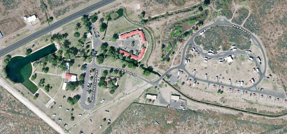
The first stop was Balmorhea State Park. This would be just like most parks except they have a natural spring that feeds a huge amount of water into a man made 2 acre pool! They have made a wet land area in recent years to replace what the pool should have used to look like.
The pool is on the left side and it is huge! 2 acres. We stayed on the campsite on the far right side of the park. You can also stay in the cottages along the river.
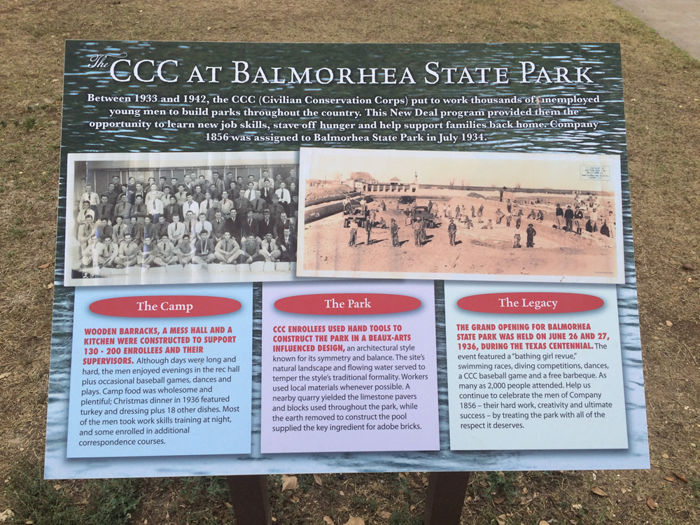
The pool part was made by the CCC, which is the Civilian Conservation Corps, one of the new Deal programs started in 1933.
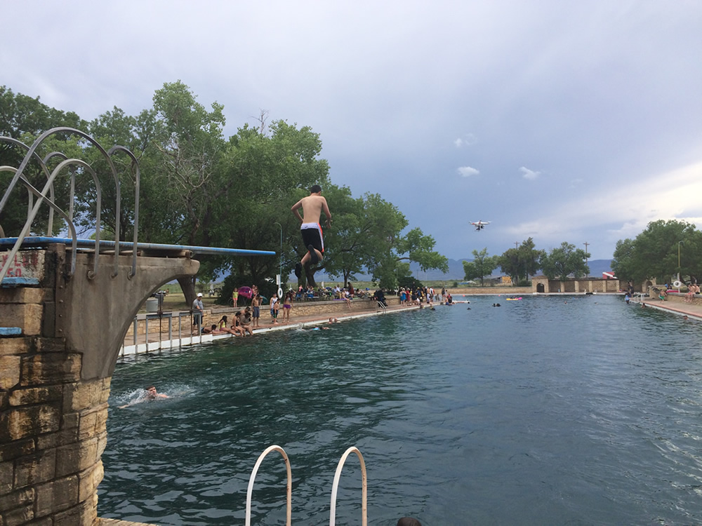
There was a drone flying that day. There is a diving board on the deep side, the other side is the shallow section .
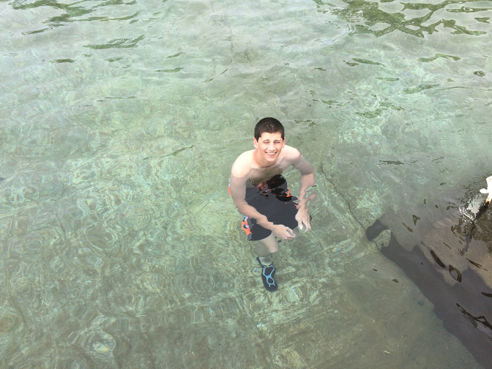
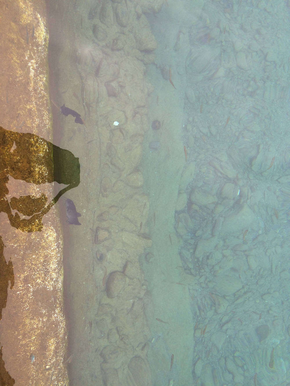
The water here rivals the lake at San Marcos for clarity.

Panoramic at the side of the pool.
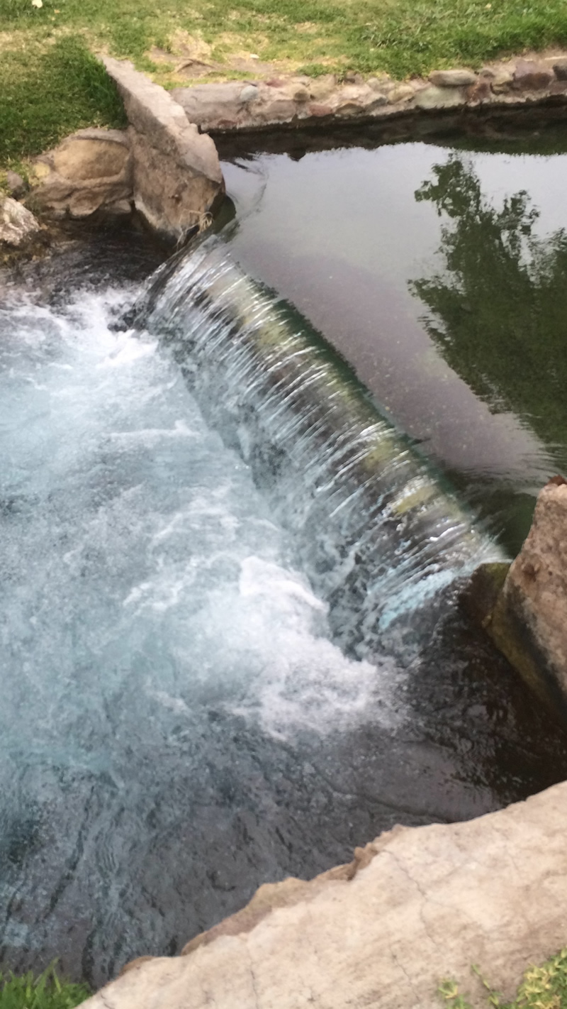
This is the waterfall and the stream in front of the cottages.
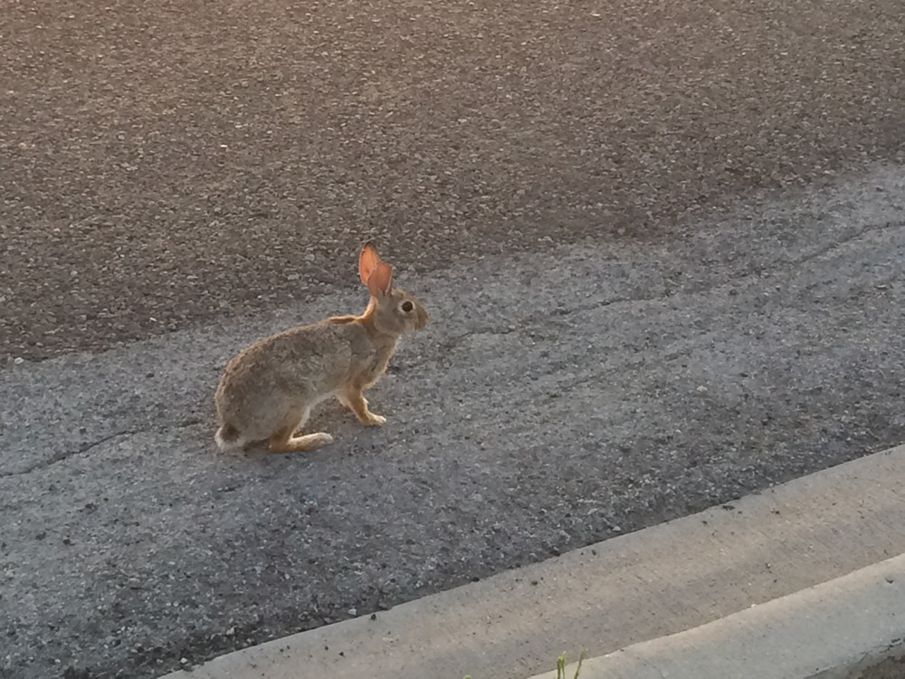
There were a few rabbits, and they were not shy. They would let you get withing a few feet of them before running off.
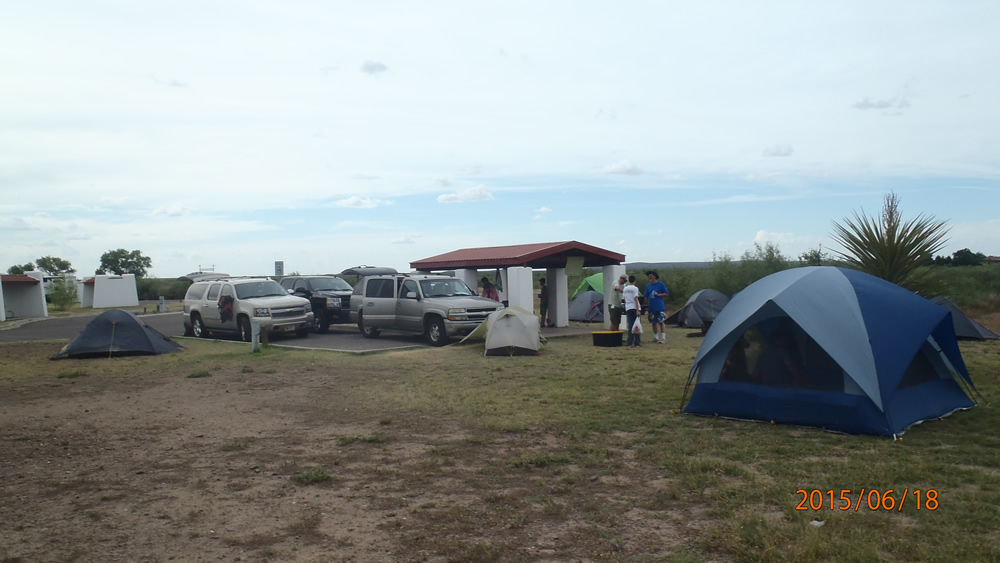
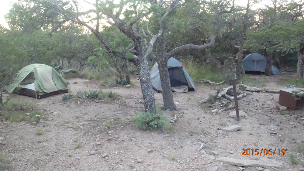
Campsite

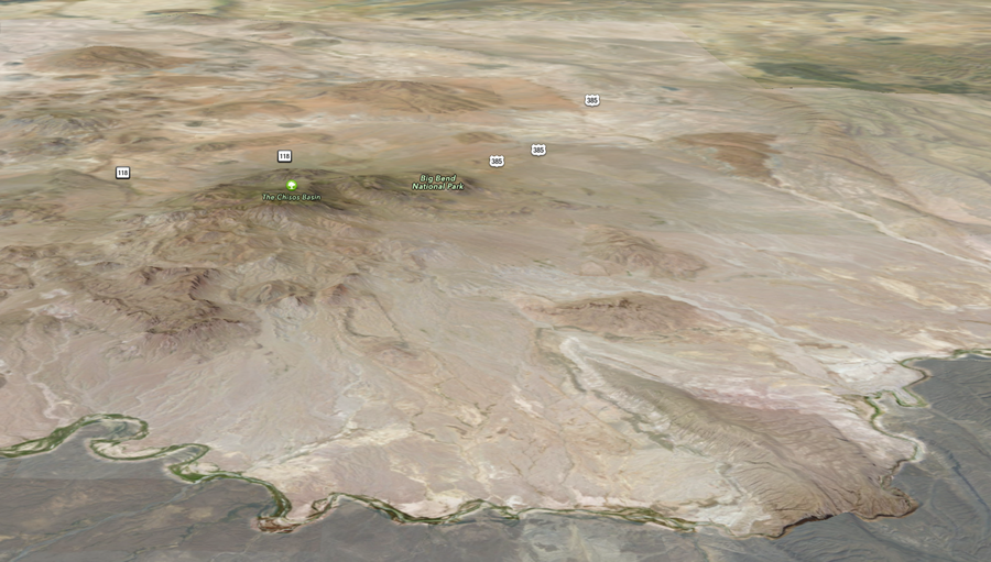
Most of Big Bend park is a desert.
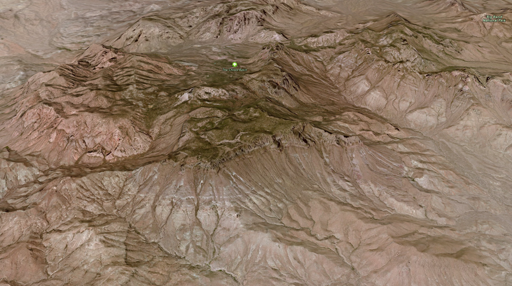
The Chisos Basis is in the middle of the Chihuahuan desert. The campsite that you can drive to is at 5,400 feet and is 5-10 degrees cooler than the temperatures at Panther Junction. We hiked to the south rim that is at 7,000 feet, so that was even cooler than the basin. The highest peak is Emory Peak, at 7,825 ft.
Our campsite was on the southeast rim trail, it was 9 miles to get there hiking the west route to SE3.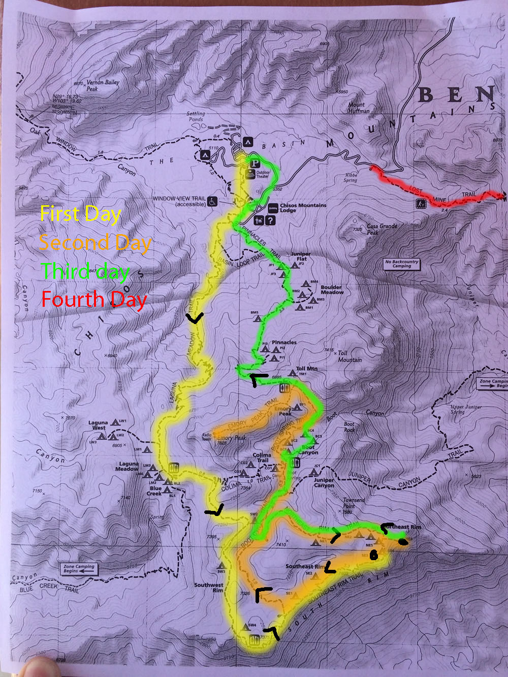
This is where we hiked all four days. We did about nine miles the first day, ten miles the next two days, and four miles the last day.
At Balmorhea, we walked about two miles total going around the park.
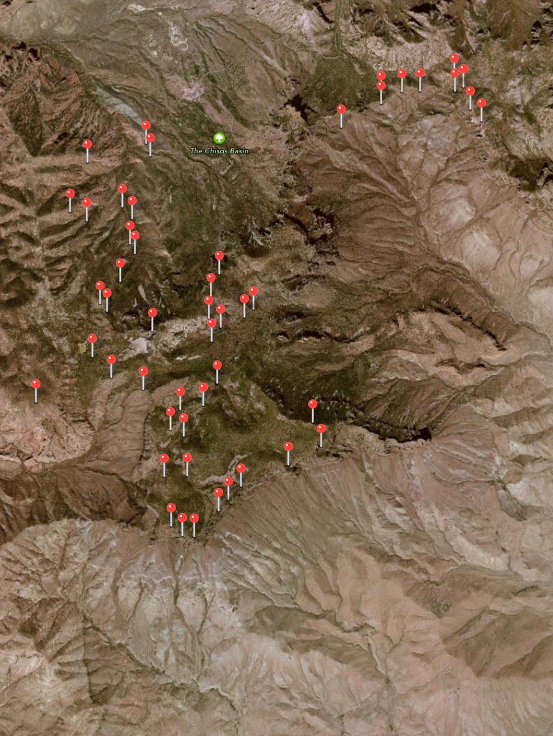
The pushpins are everywhere I took a picutre. The south rim is hard to get to. There are two ways to go, and it doesn't matter which one you take, they both go up at least 3,000 feet. To do the whole loop is supposed to be around 10 miles. To get to and from the parking lot makes it a little farther than that.
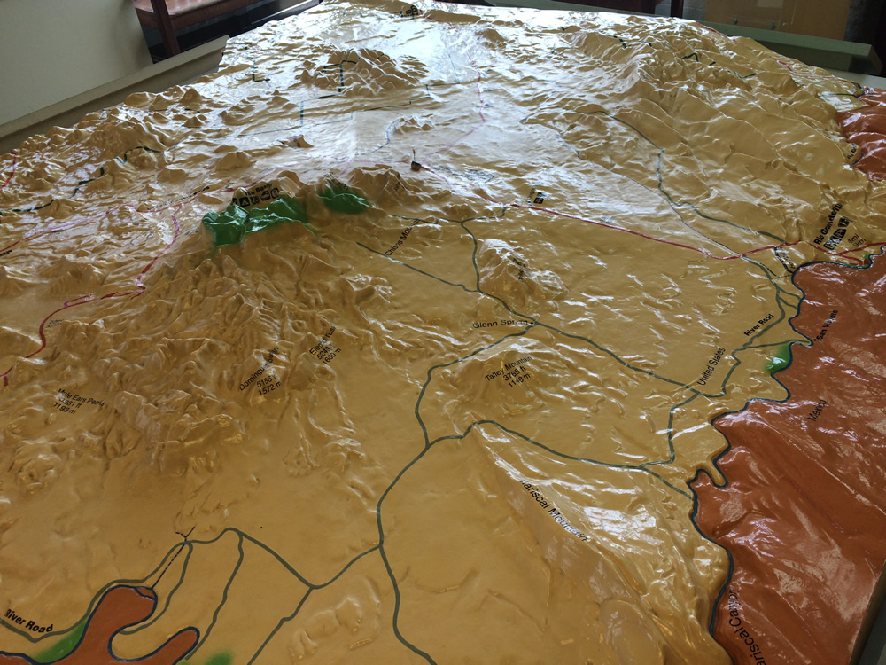
The model of the Park in the Panther Junction office.
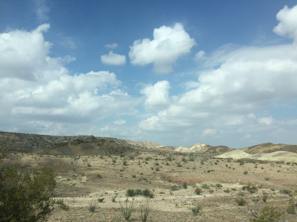
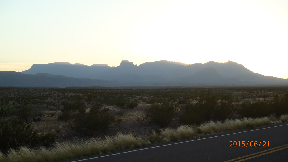
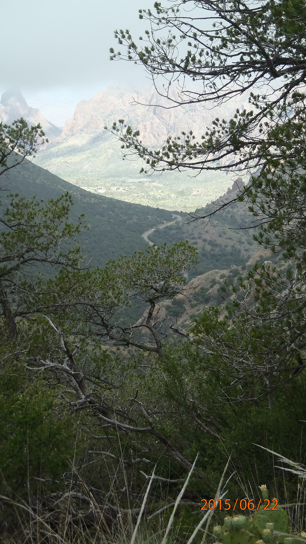
Driving through the desert on the way.
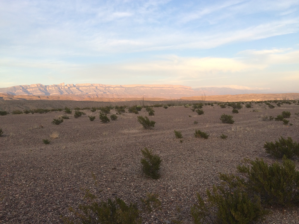
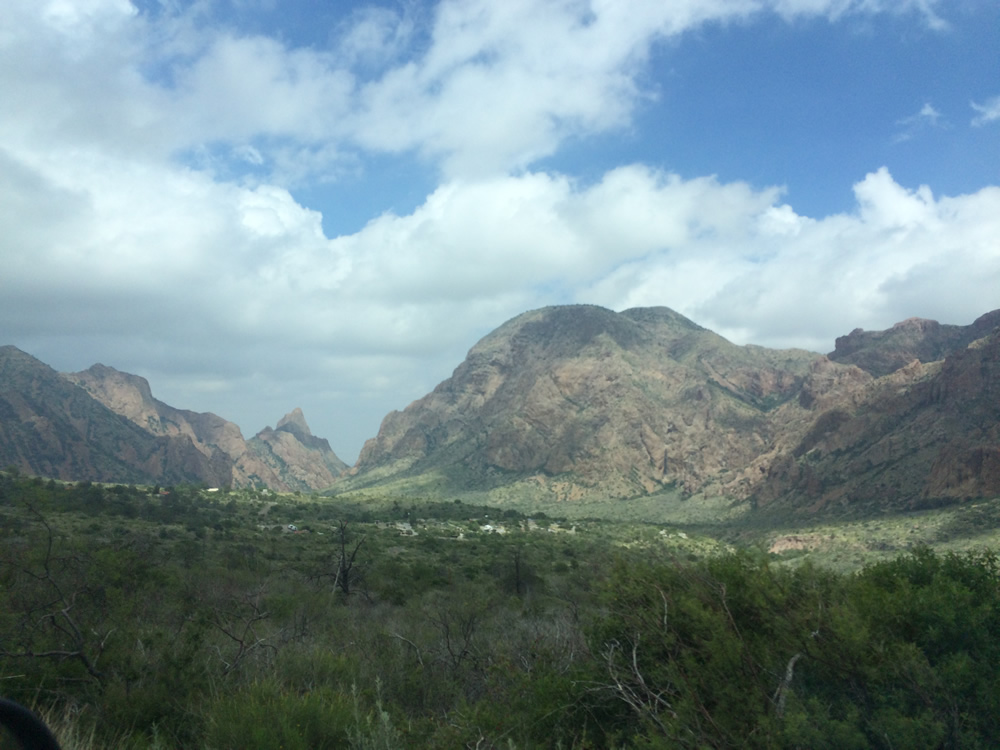
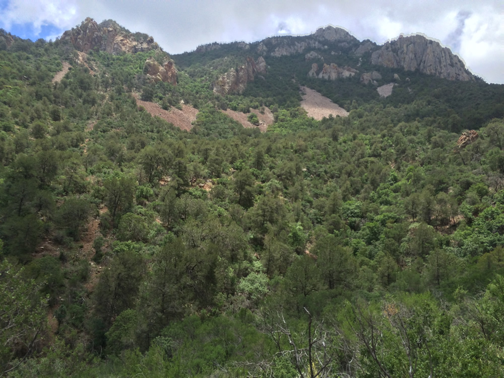
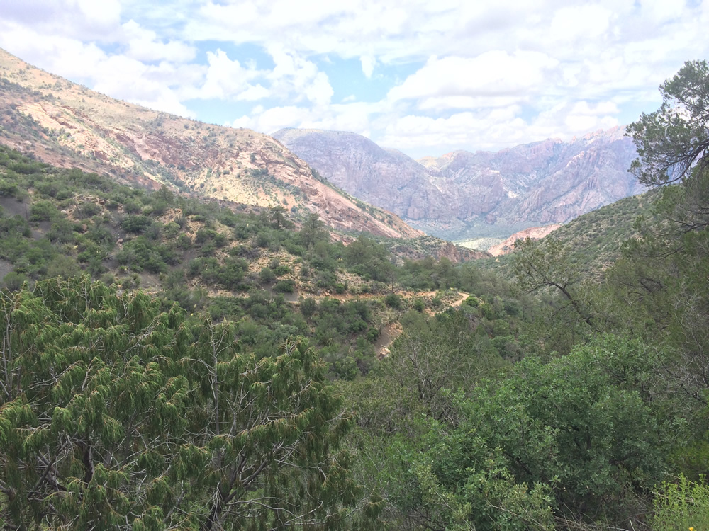
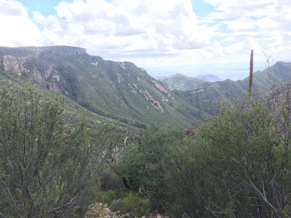
The desert turns to mountains.
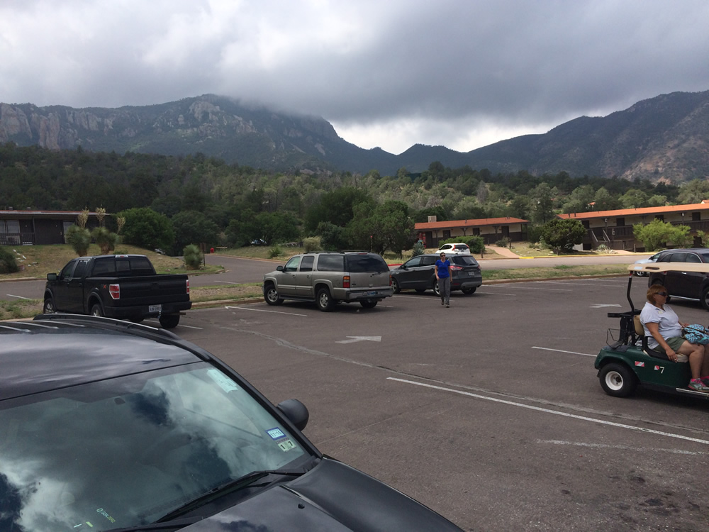
Just the parking lot has beautiful views all the way around.
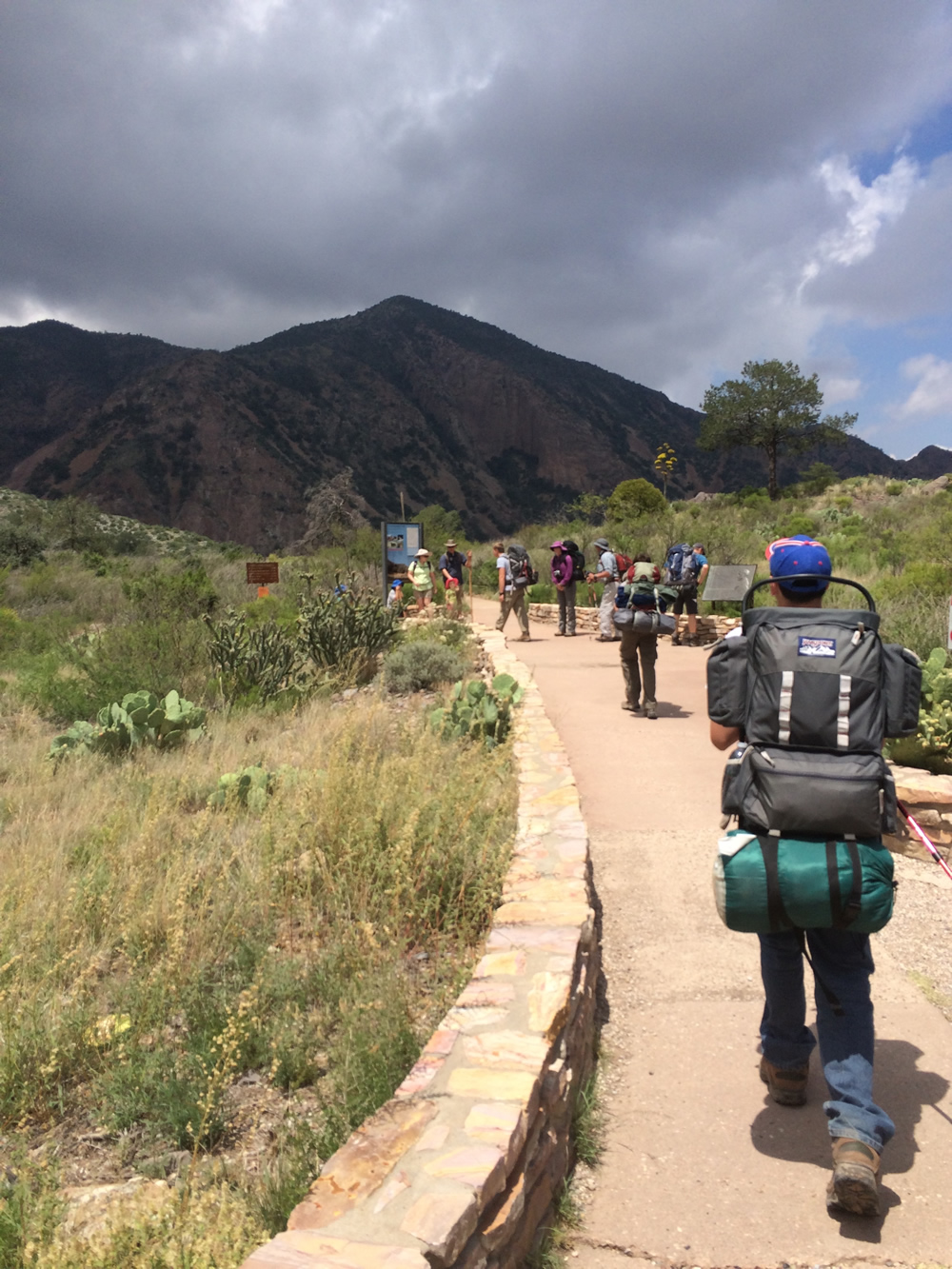
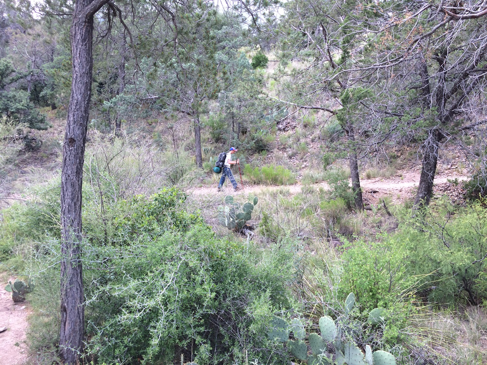
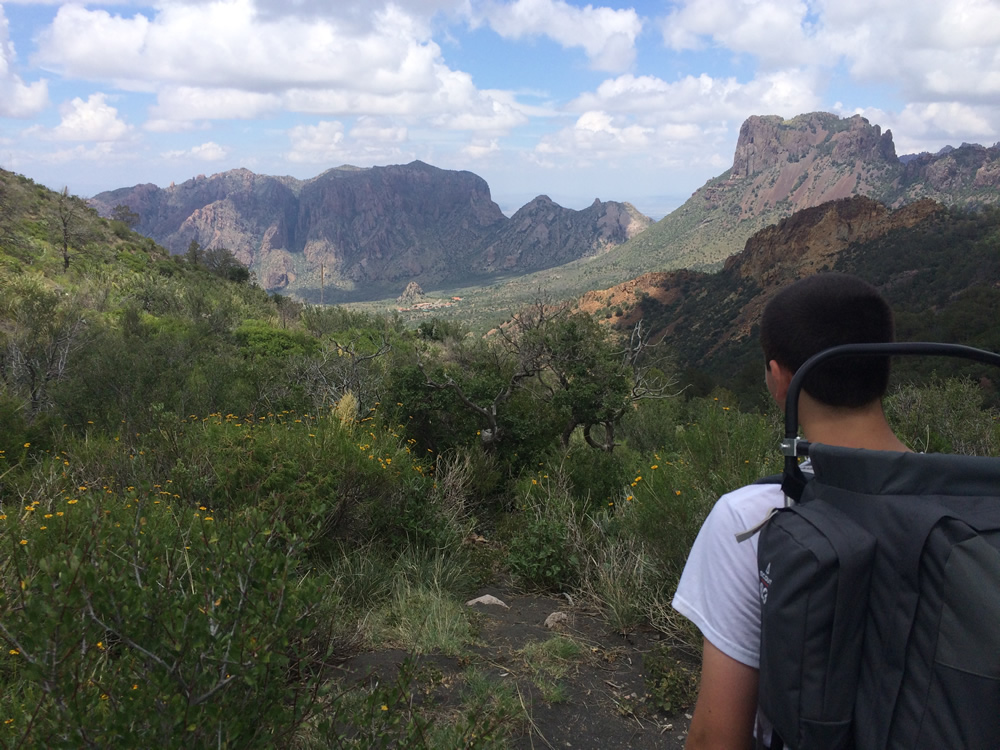
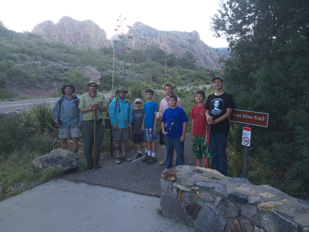
Heading out on Day 1.
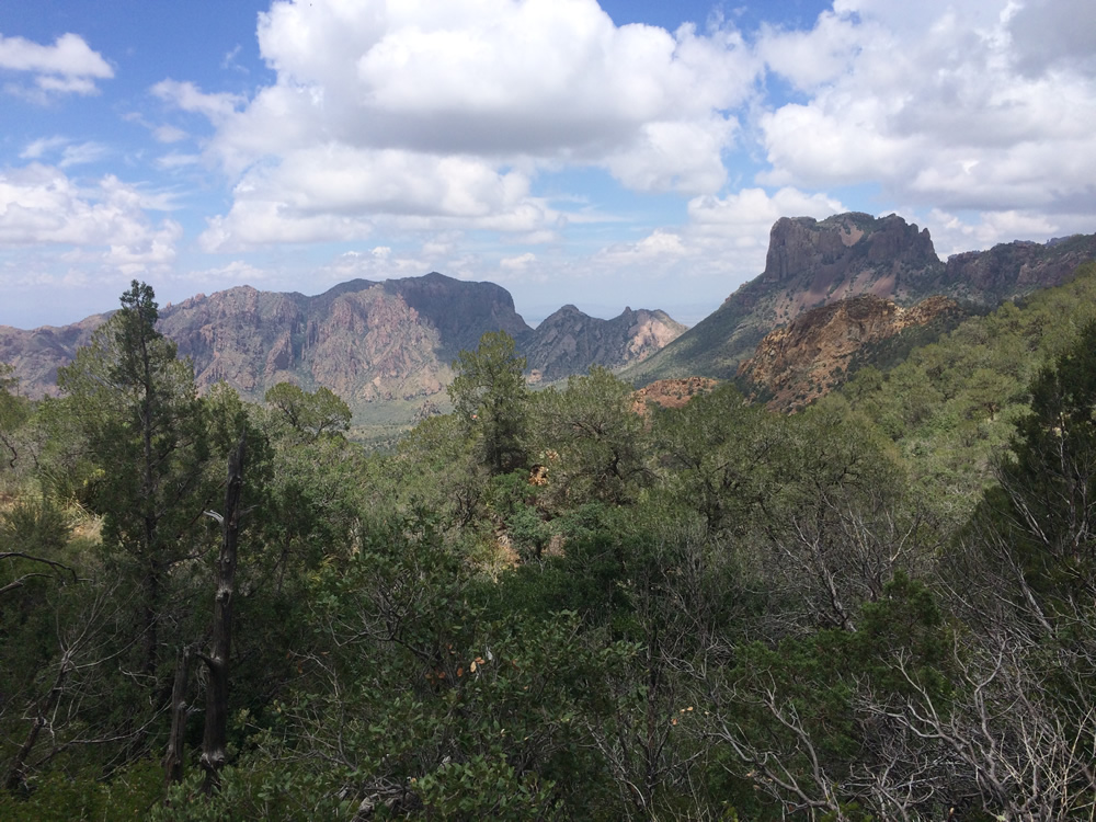
The mountains don't look like a desert anymore.
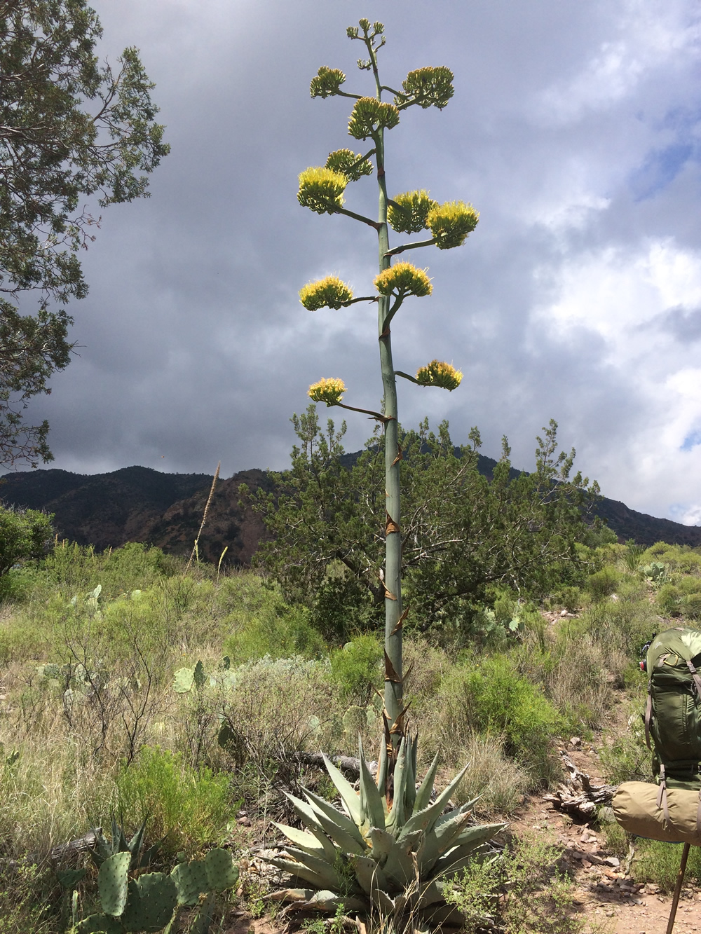
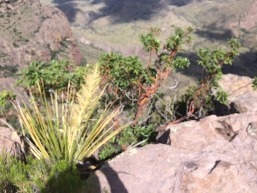
The century plants were blooming in June. They were everywhere!
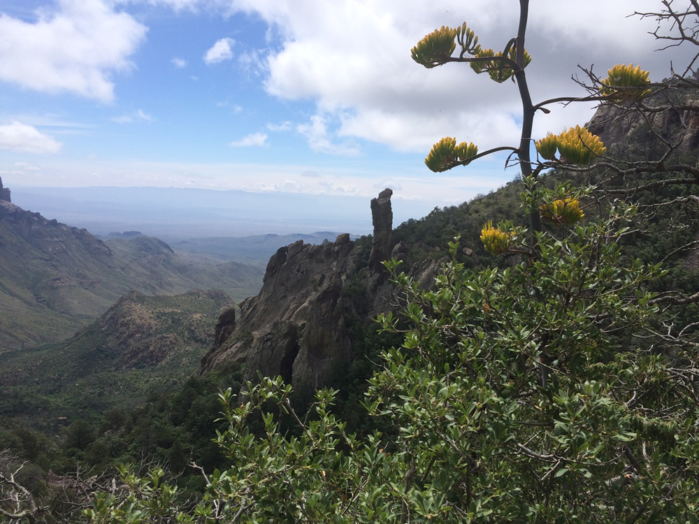
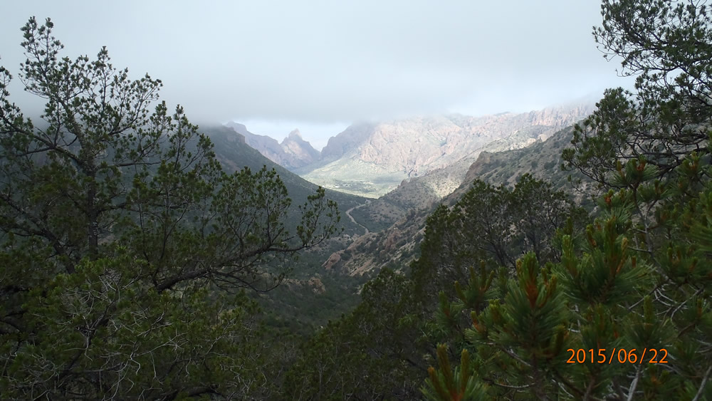
One of the pretty views on the way, this chasm is called the window, because from certain points of view it looks like a window.
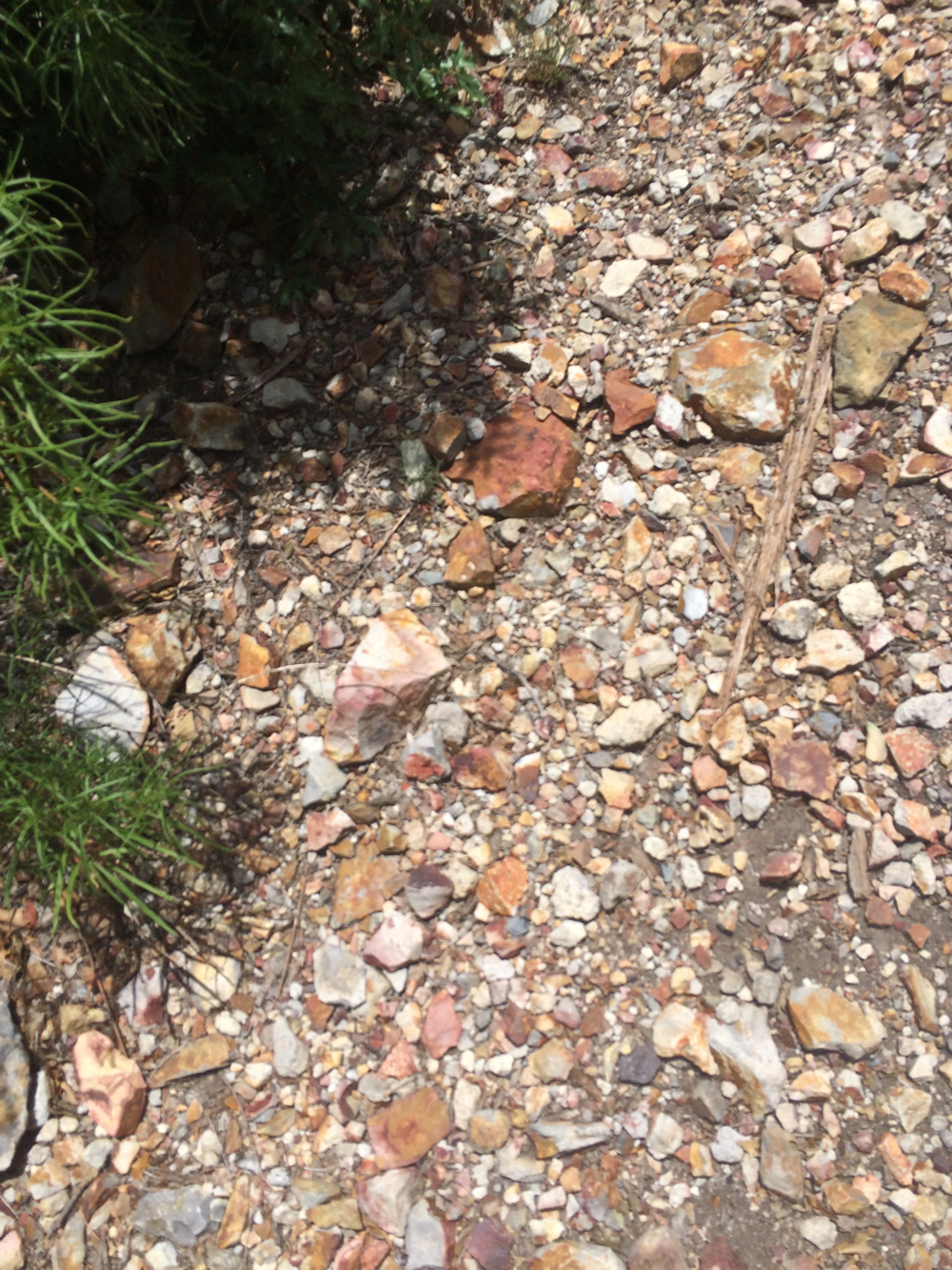
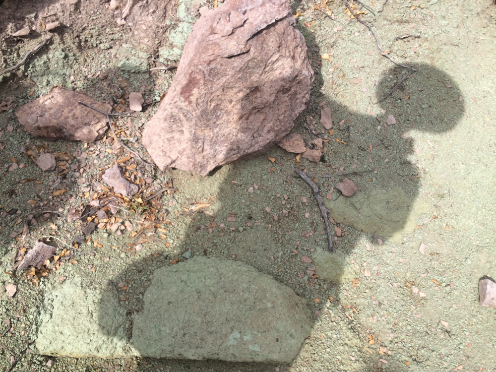
Even the rocks on the ground were colorful in places, there are mineral deposites all over the park.
The trail we had just come up; there are a ton of switchbacks on the way.
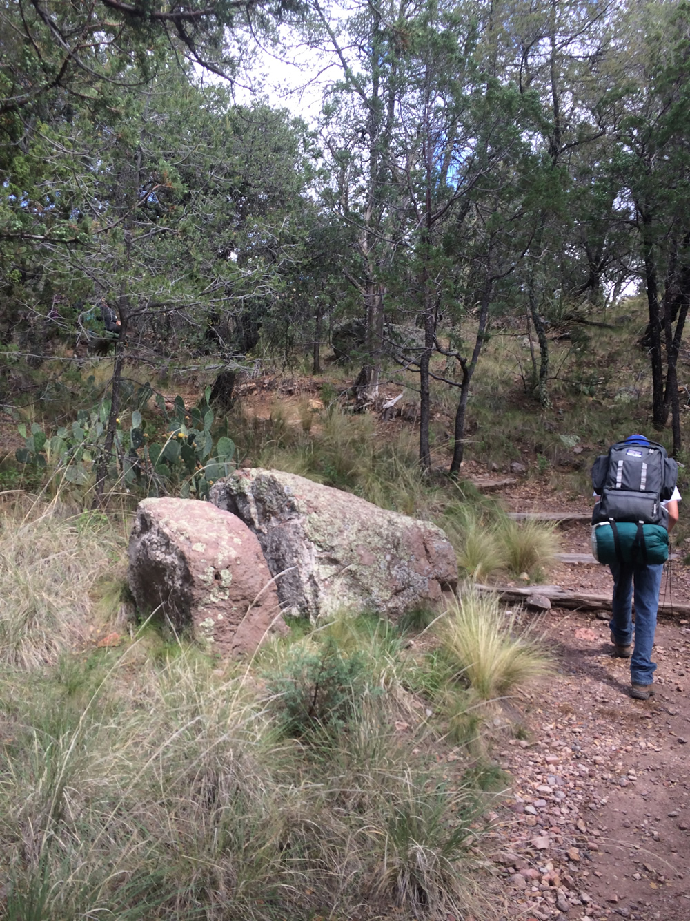
Rugged terrain on the way.
Where we stopped for lunch the first day.
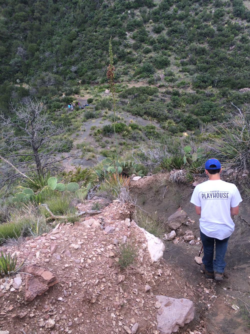
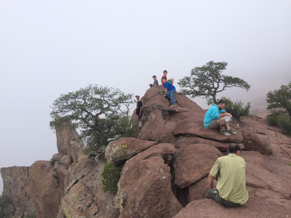
This was the first little mini peak on the way, you can see the people way down below where we stopped for lunch.

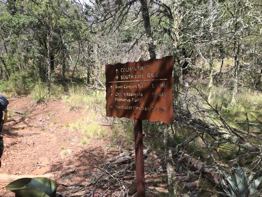
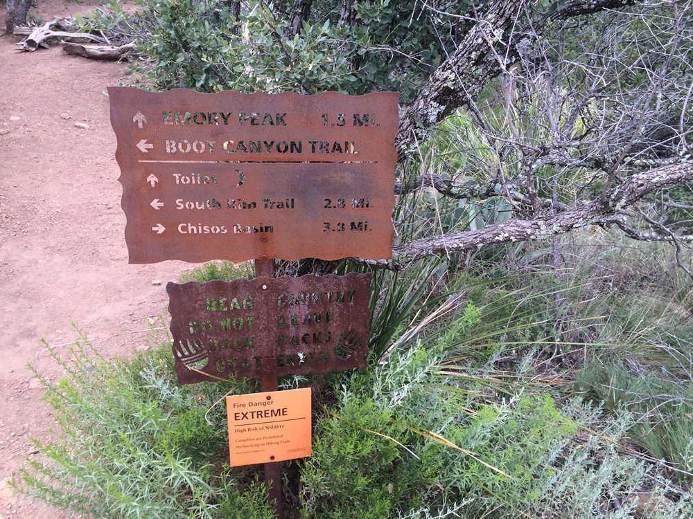
There were signs at all the intersections to point the way, you really only knew where you were on the map when you found a bathroom or campsite.
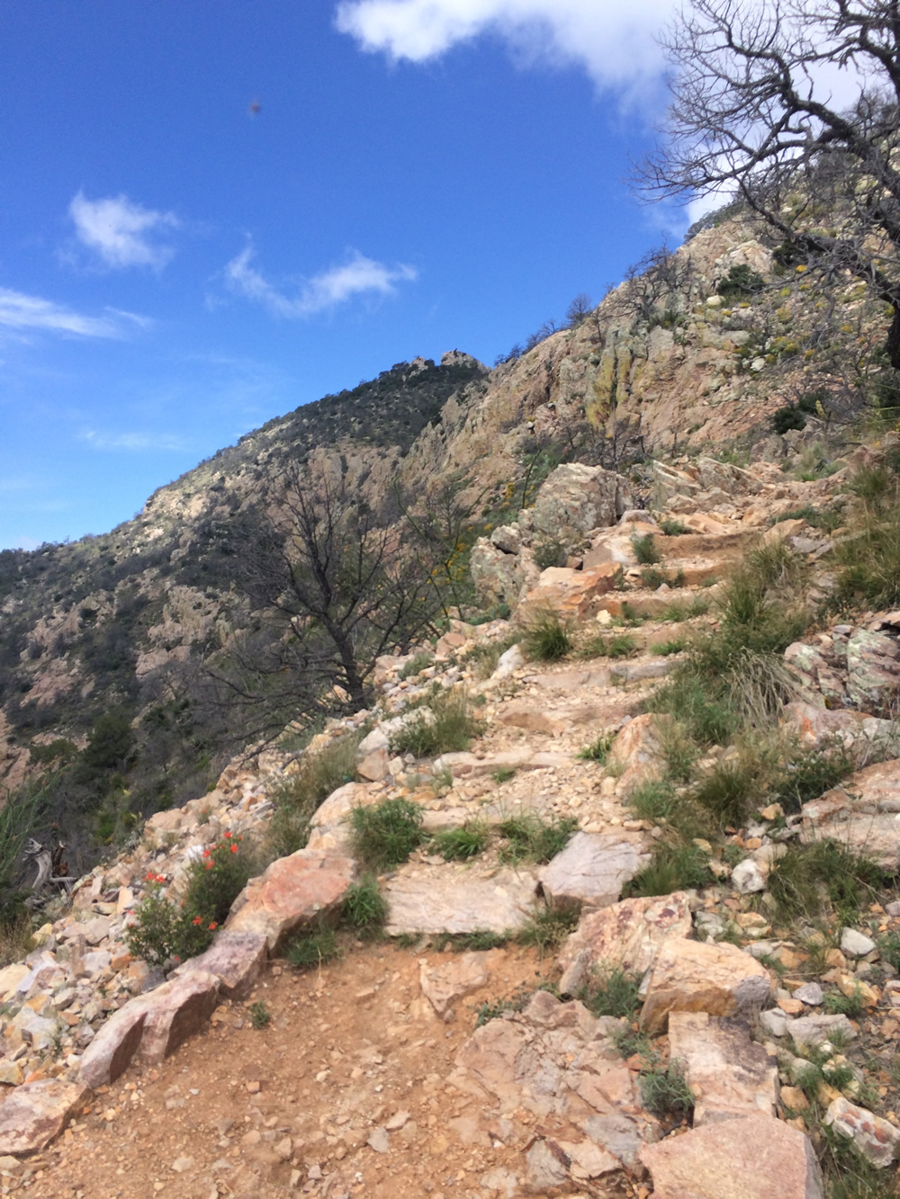
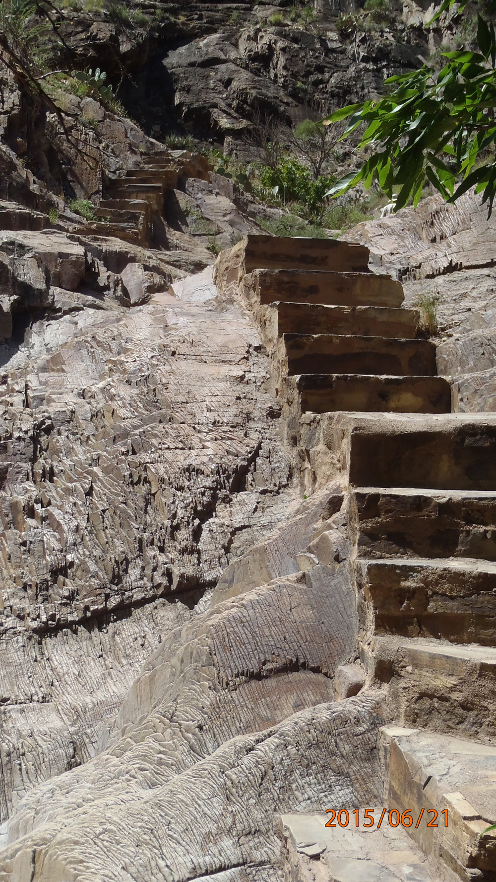
The CCC made these trails in the 30's and if it were not for the switchbacks and the steps it would be a real chore getting around.
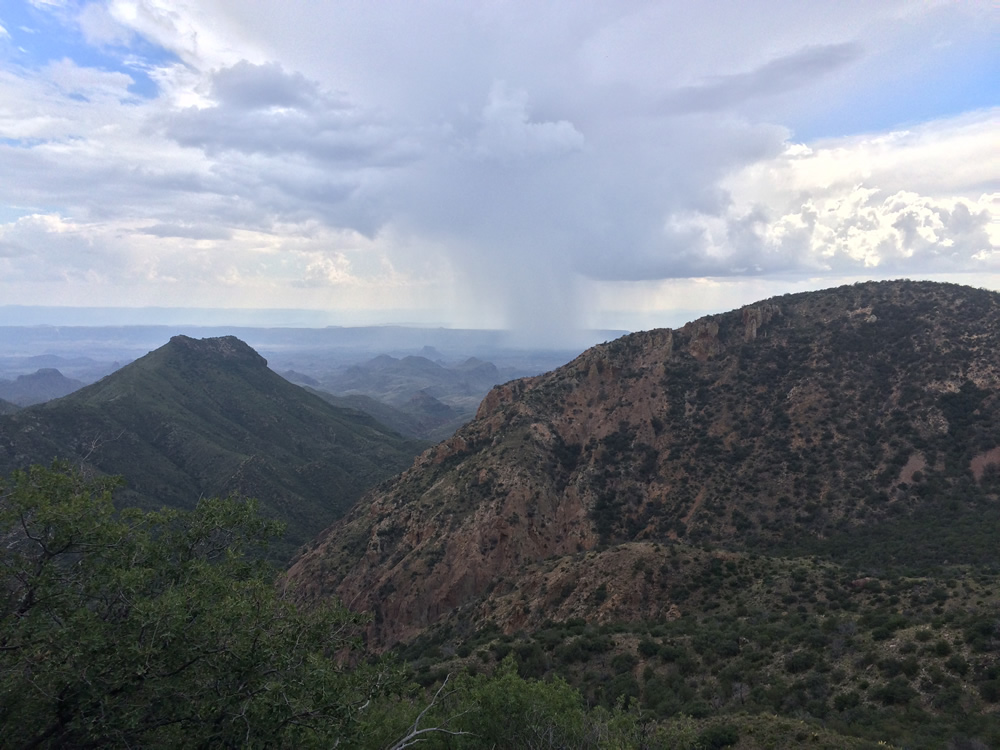
That is a rain storm going by. We got lucky that it cooled us off considerably the first day with the passing showers, we were even more lucky that it did not actually rain on us the whole trip!
It reminded me of the Loony Toon Cartoons where you see the rain cloud passing by...
5pm the first day, still 3 hours to go until we made it to the campsite!
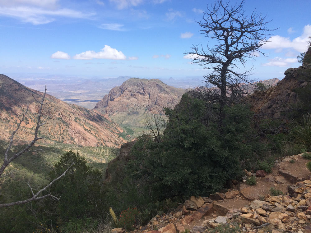
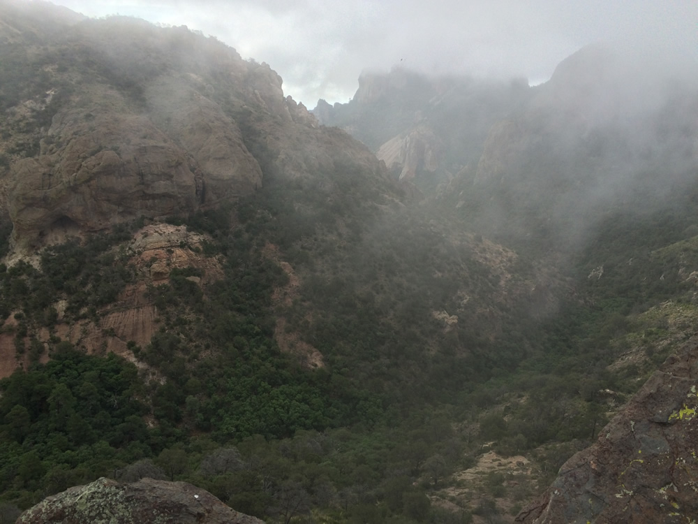
Some of the first views of Mexico, it was neat how the clouds would billow around the mountains.
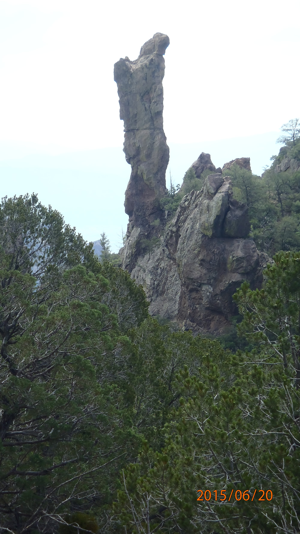
The green rocks are most likely copper deposites, could be tin as well. Larry knows his geology and it was really intersting seeing the terrain from a different point of view.
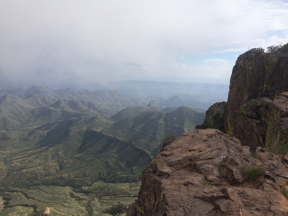
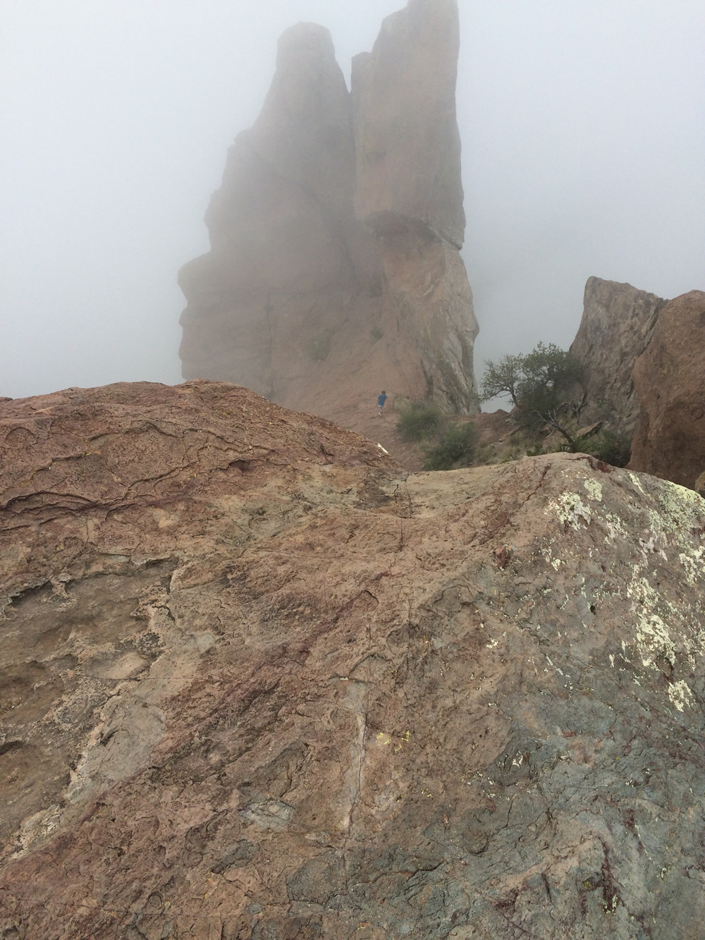
The drop is somewhere around 2000 feet! I never got very close to the edge.
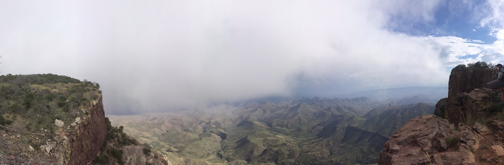
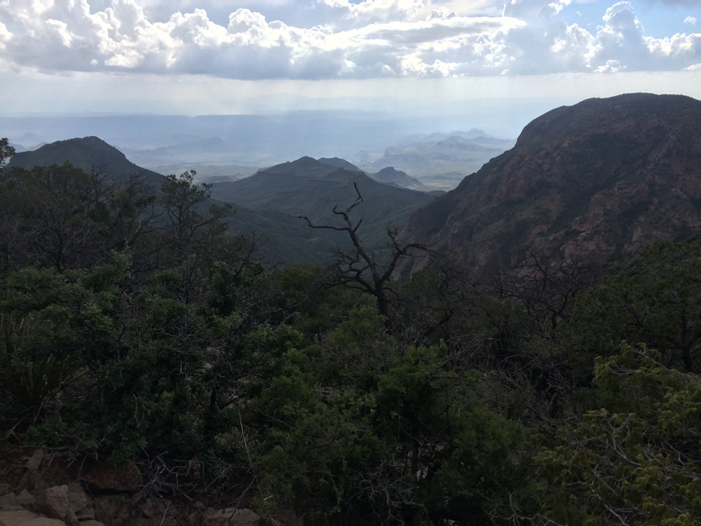
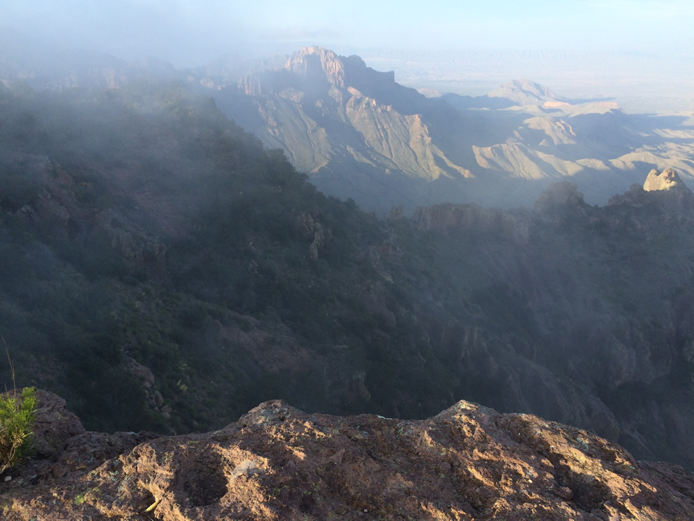
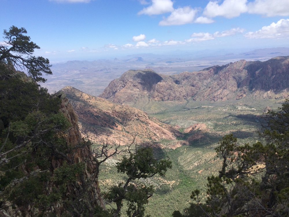
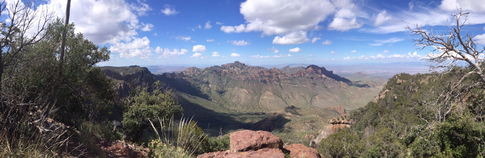
Panoramic of the first vista of the South Rim Trail.
It is hard to get a picture that shows just how sheer the drops are. That was the cliff I was on for the panoramic.
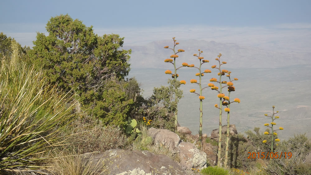
This is an awsome shot of the centrury plants.
I have no clue if the movie will play for you...
8PM the first day, I should have taken some more movies to show the clouds coming up the cliffs.
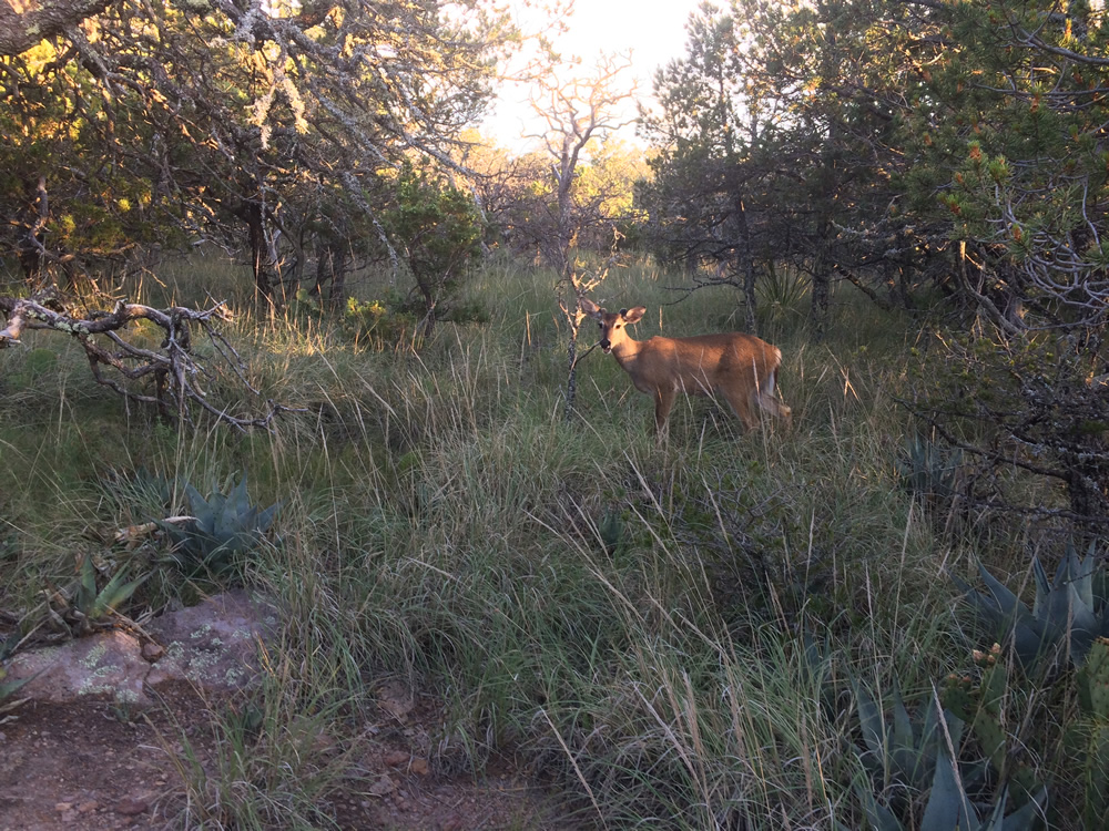
We had 4 deer in the campsite the first night, they were as wild as the bunnies, they would let you get as little as 20 feet away before they ran off, and they would just come right back!
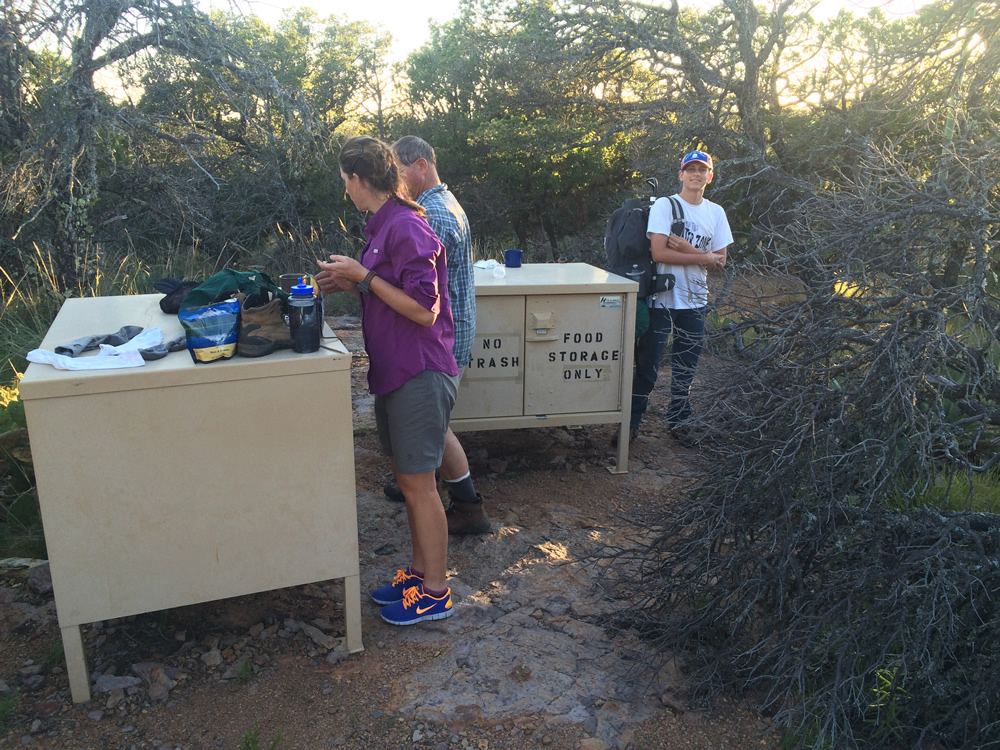
The heavy duty, industrial bear boxes. You are not supposed to have any food in your tent, and even your smelly socks are supposed to go in the bear boxes. I never saw the first bear.
The small rusty box to the right is the old bear box, why would they put the bear box right next to where the tents go?
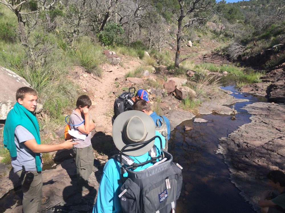
I am not sure if there is always running water, but it was neat hiking through Boot Spring trail on the second day.
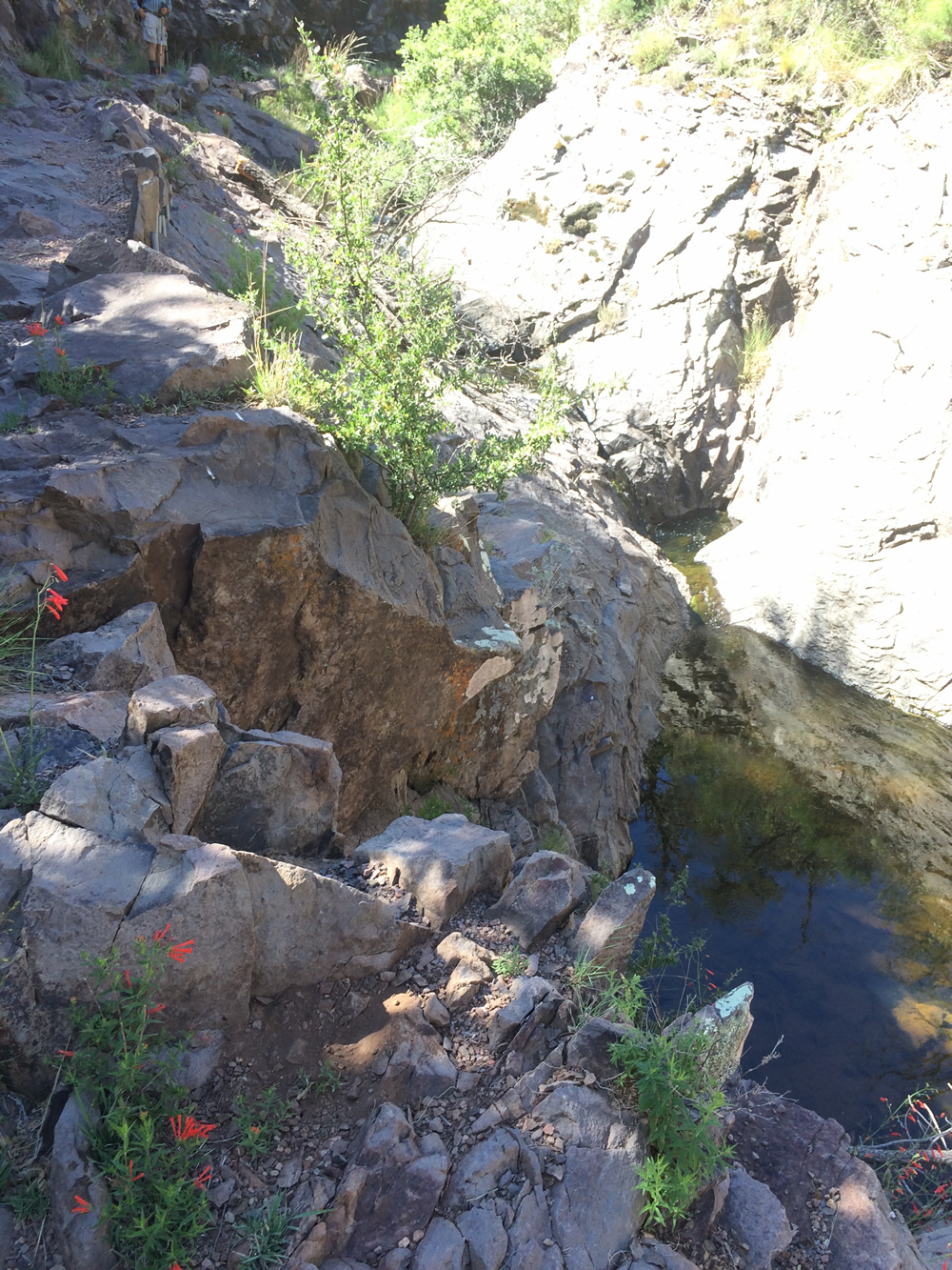
There were pools along the way, and the foliage was different in the canyons.
There is the boot for which boot canyon is named.
Closeup of the boot!
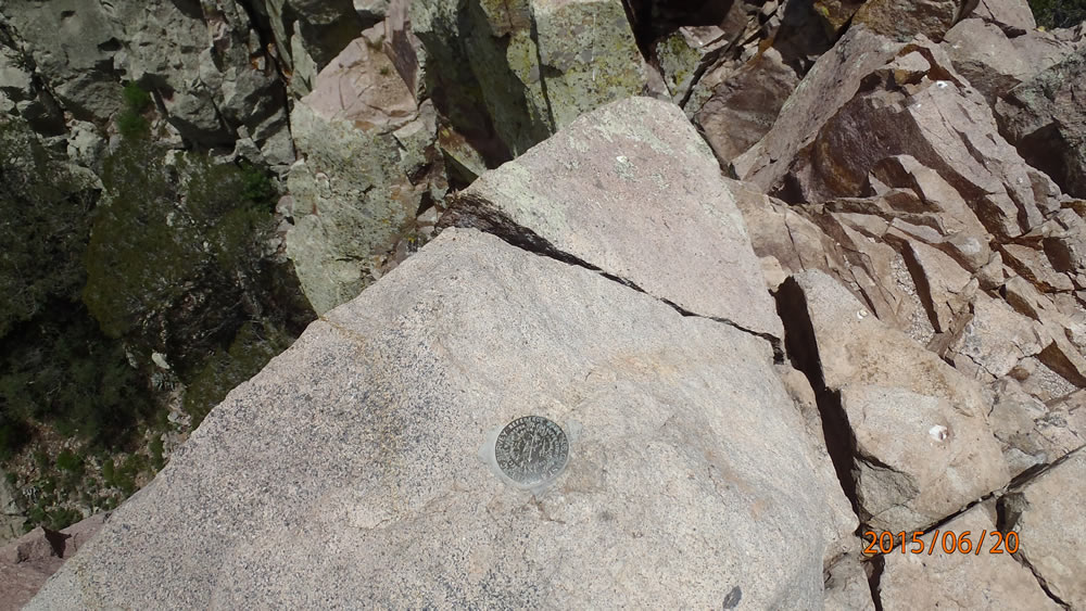
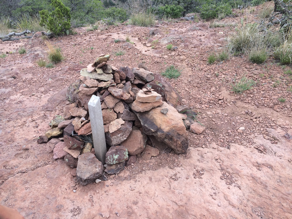
Survey marker in the middle of the park
Heading to Emory Peak! Watch for bears.
This is where you can stop for a break at the crossroads.
Somebody made these stairs out of the solid rock.
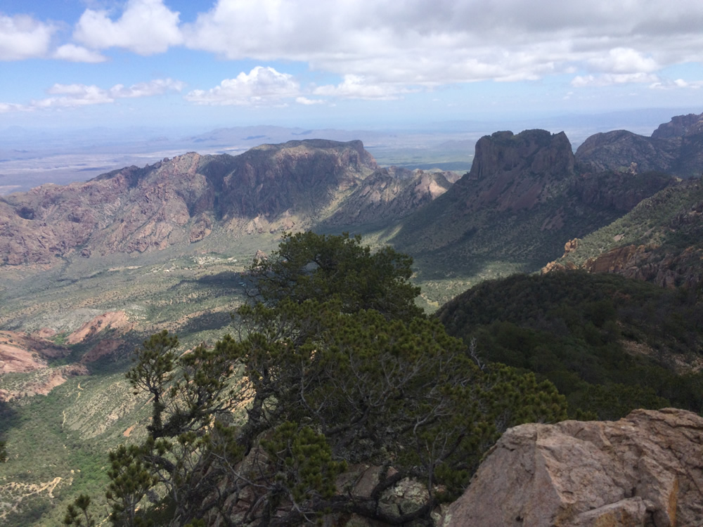
One of the views from the top of Emory Peak!
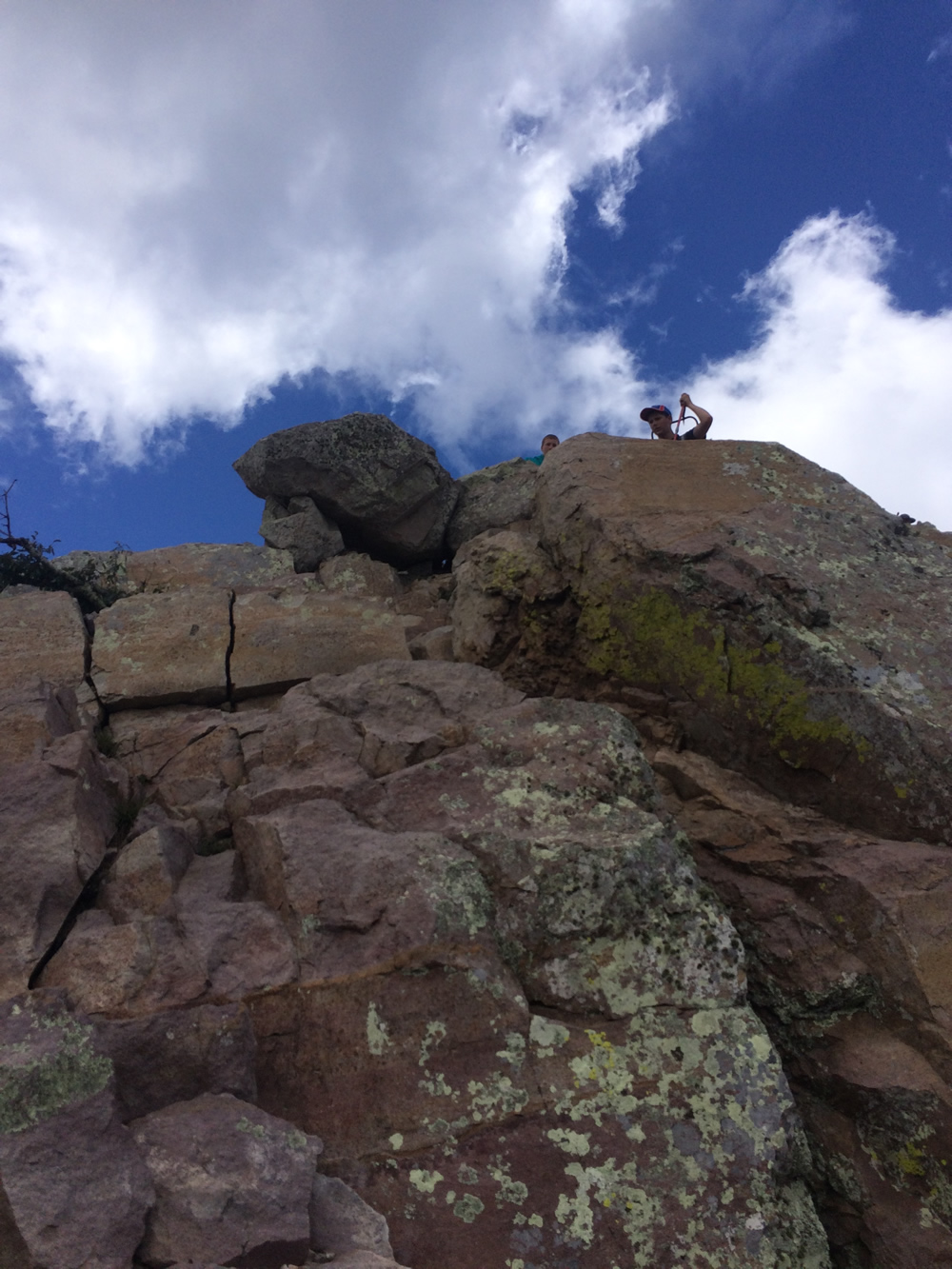
You have to climb the rocks to get to the very top, and you have to get back down again!
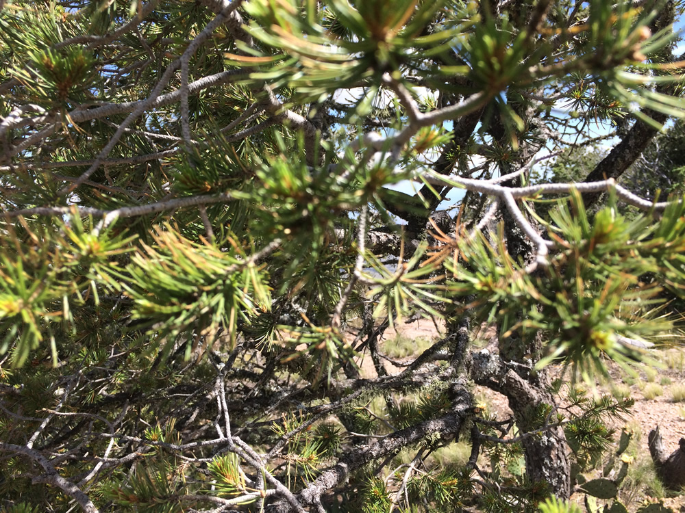
There are Douglas fir trees in the park, these mountains are the only place in Texas that they grow!
It's fuzzy, but this tree had striking orange bark.
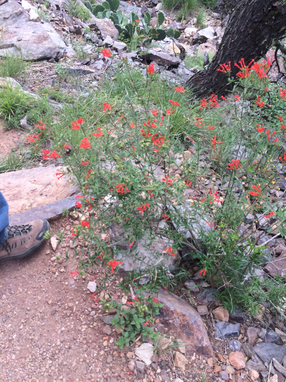
The cigar plant was pretty colorfull too.

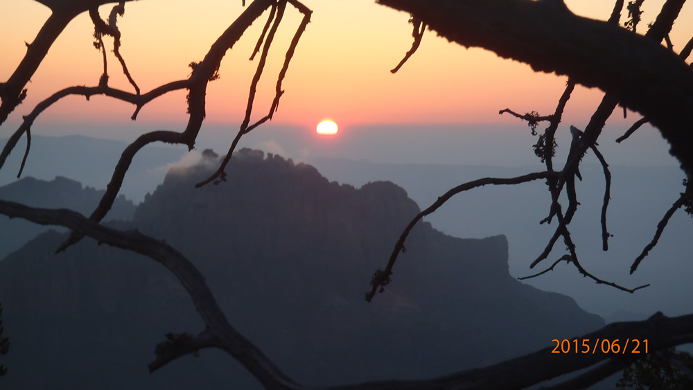
The sunrise on the 3rd day to hike out!
If you ever go hiking, always step on the smaller rocks, they are more stable than the bigger rocks!
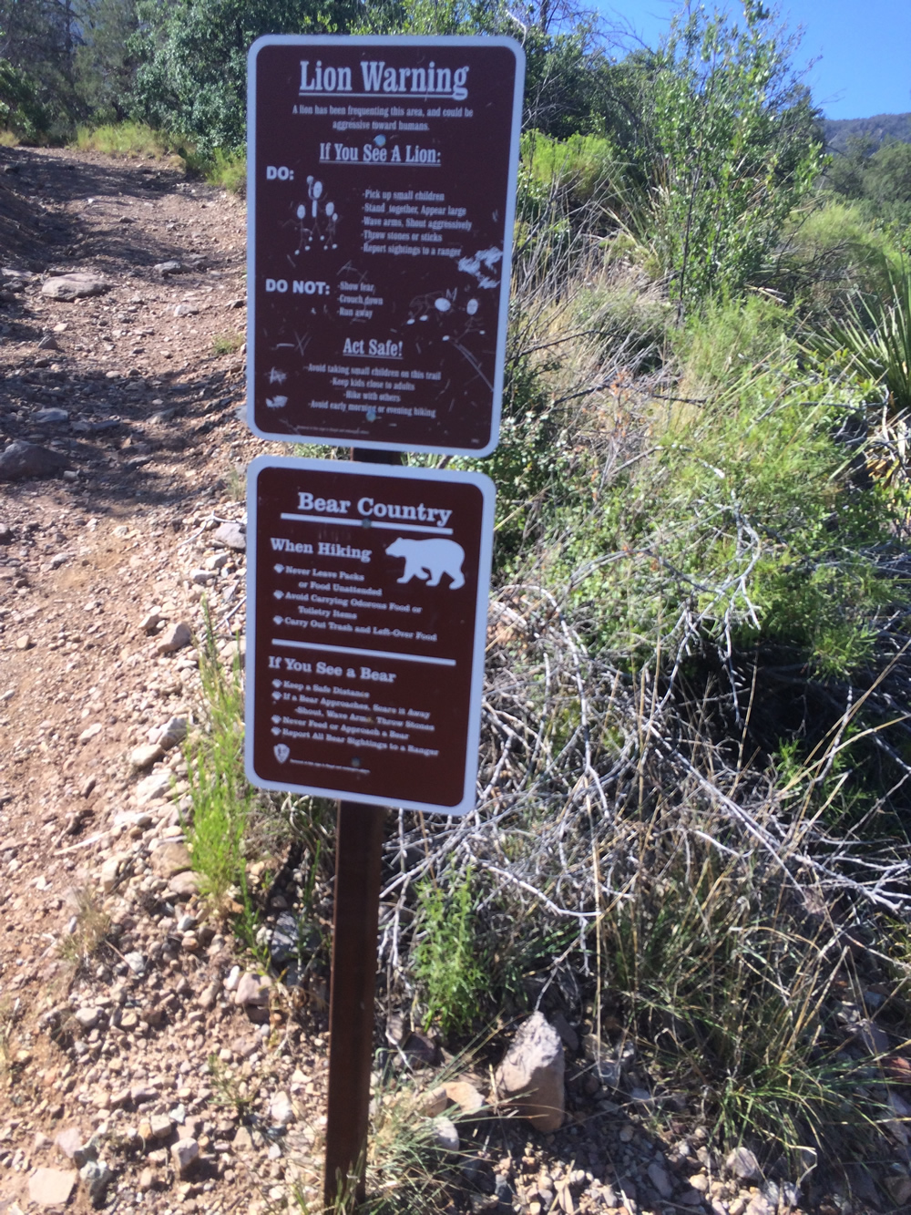
I liked the signs, you are not supposed to touch, damage any of the wildlife except you can throw as many rocks at the bears and lions you want.....?
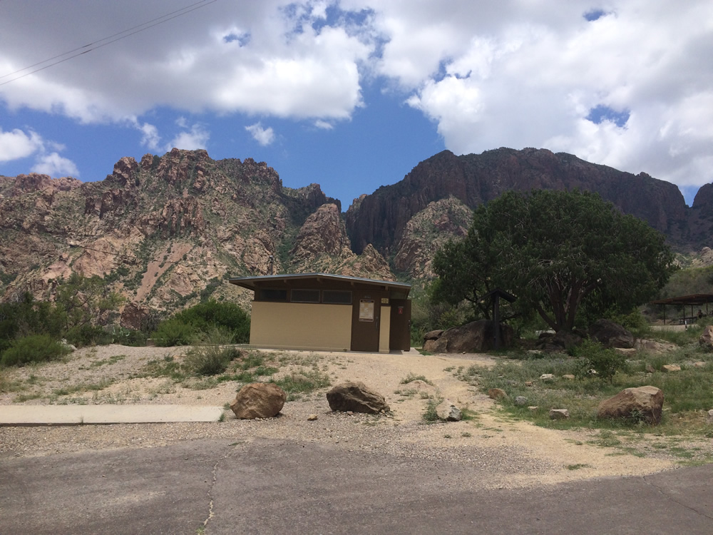
For the last night we stayed at the campsites close to the base with bathrooms, and running water.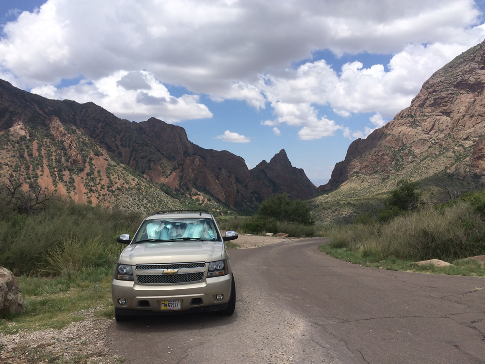
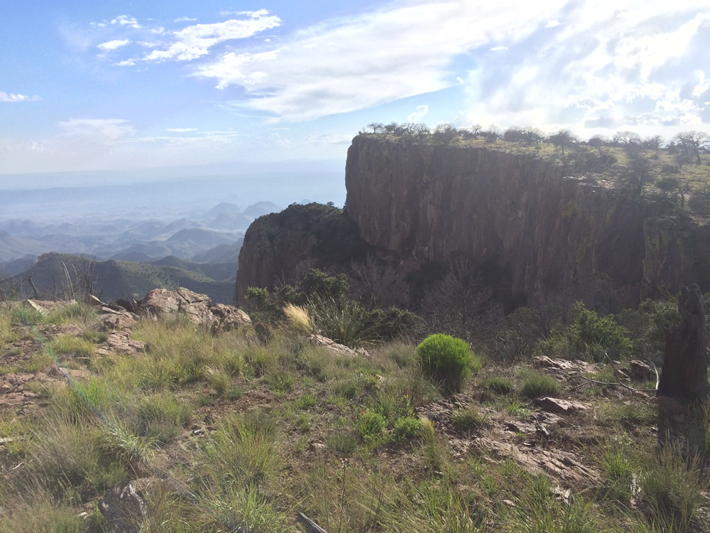
Still nice views, this is from the campsite.
This is the view from the window trail where it's name comes from.
The stairs on the window trail
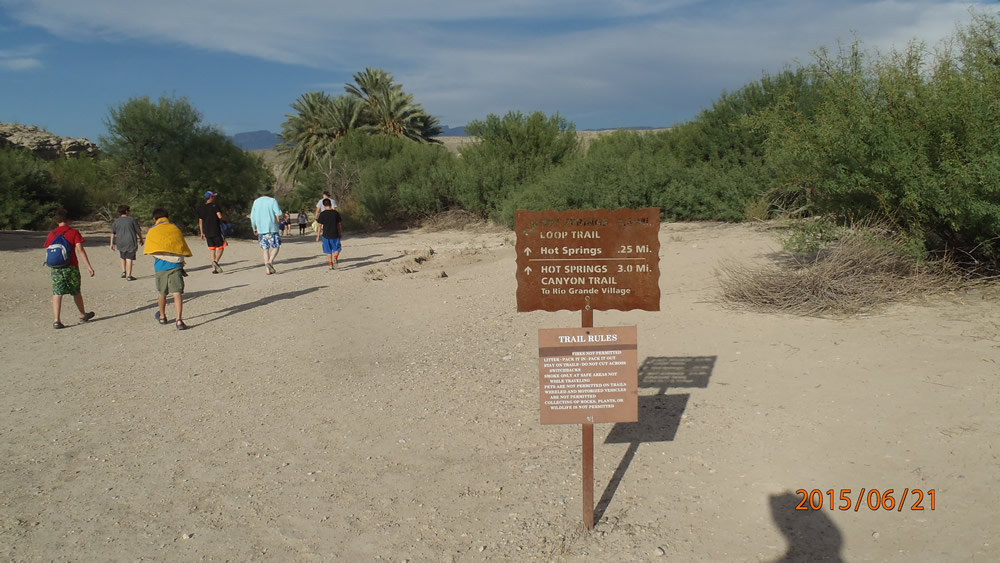
We headed out to the Rio Grande Village
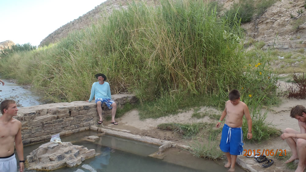
There is a hot spring keeping the pool 103 degrees year round.
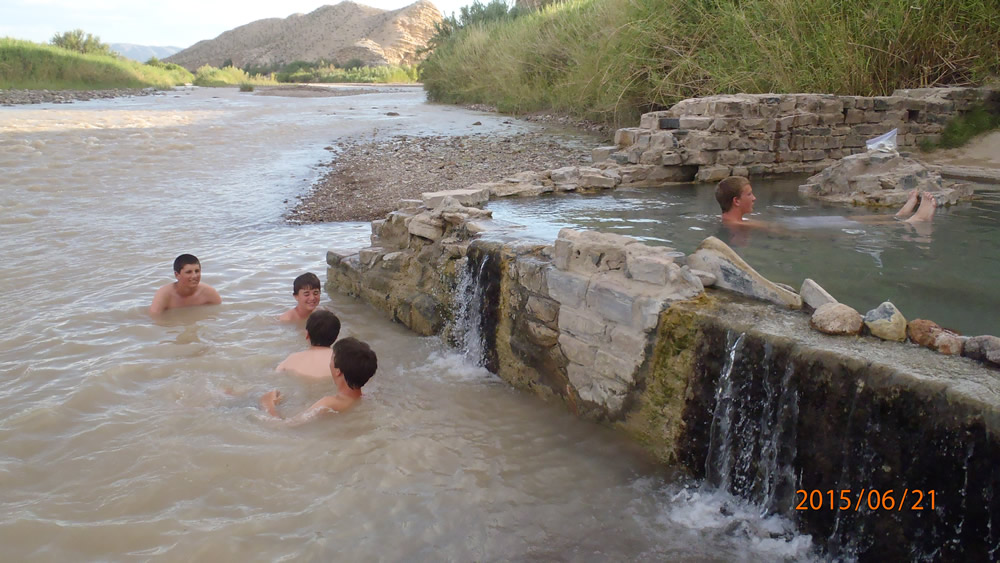
It keeps the Rio Grande a little warmer right where it goes in.
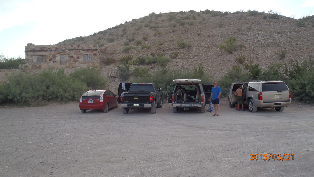
There is a sign warning that if you leave you vehicle unattended it will most likely get broken into...
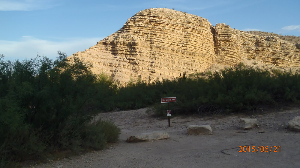
Sign for the trail
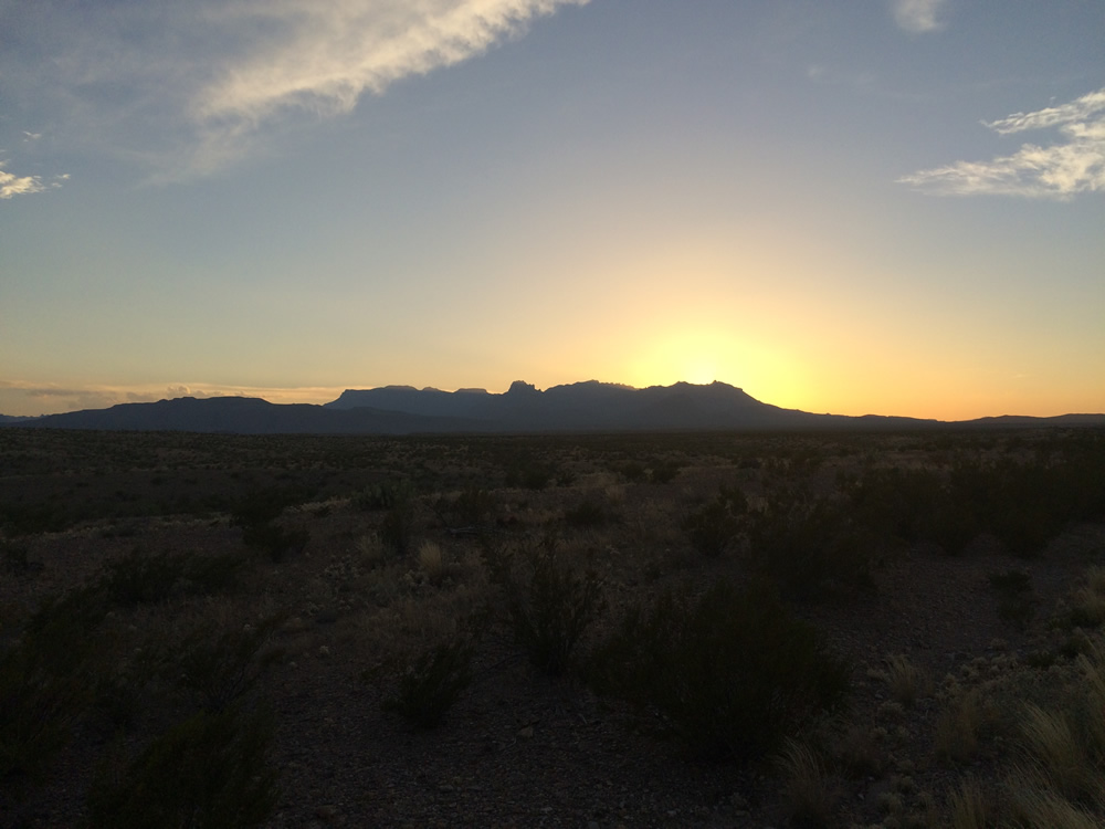
The sun setting on the Chisos Mountains, you are looking at the South Rim that we were camping on.
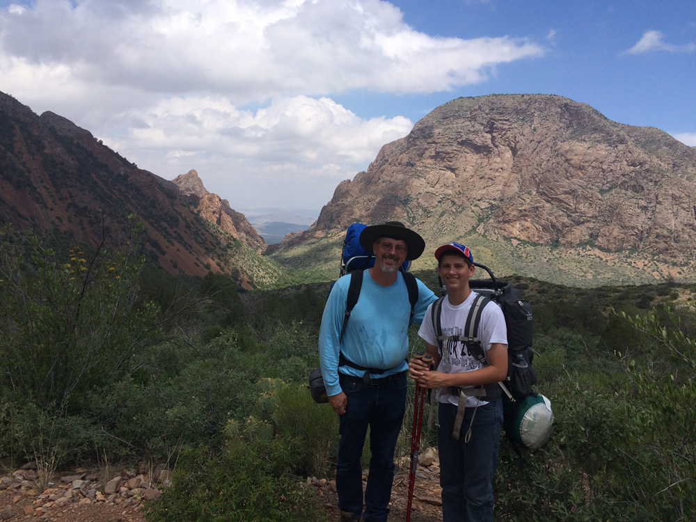
This is the crew ready to go on the last hike before heading home!
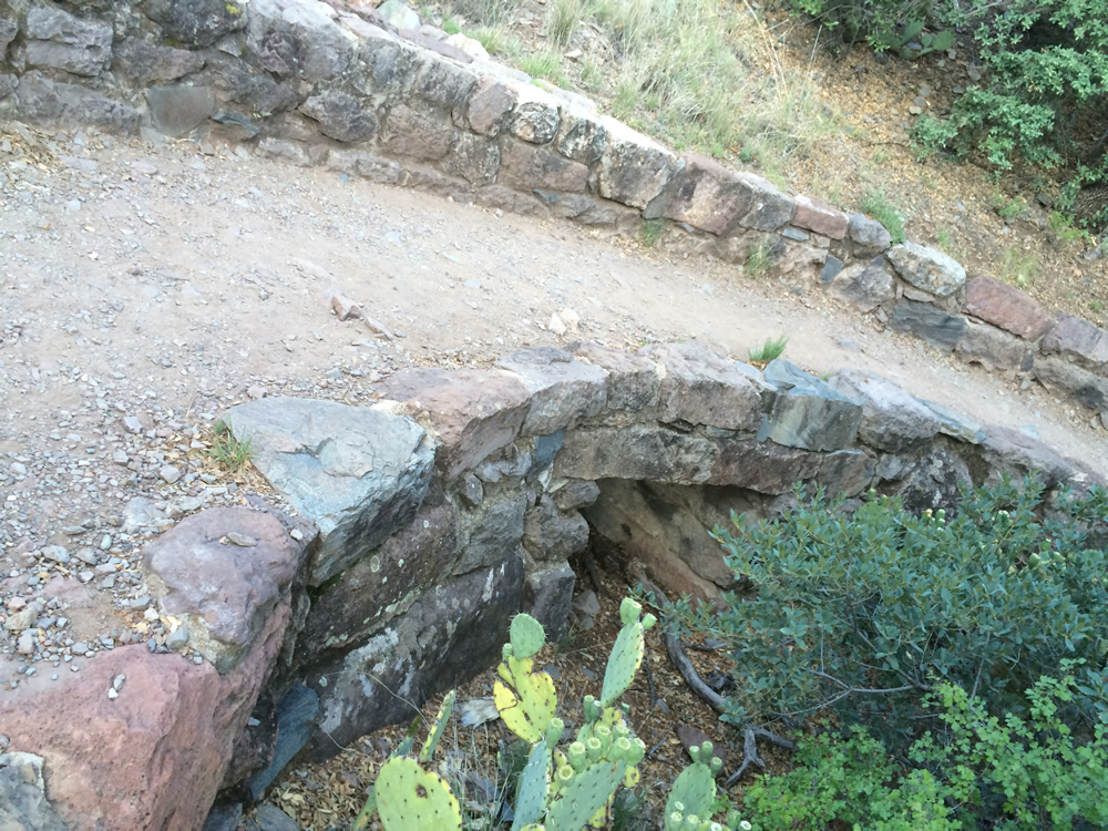
The amount of work that was done to improve the trails was impressive!

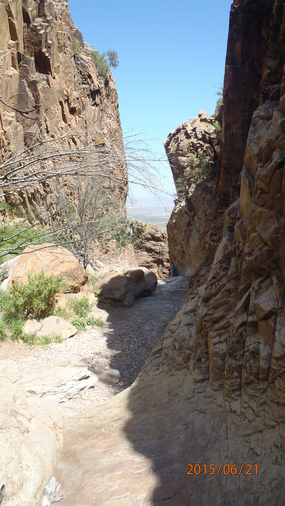
This is a dynamite hole, used to blast a path in the rocks to make it passible without needing mountain climbing gear


This path had been clearly blasted out of the rock to make it easier.
This is at the top, I believe we were supposed to carry a rock from the bottom making the peak taller one rock at a time...!
If you make it this far, keep going or you'll miss what I thought was the best part...

The clouds were billowing over the trail as we went along
It was cloudy, but every now and then they broke for a bit.
Looking down at the way we came up
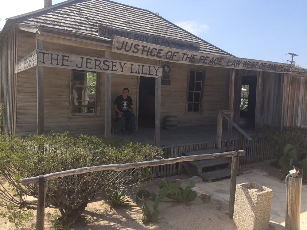
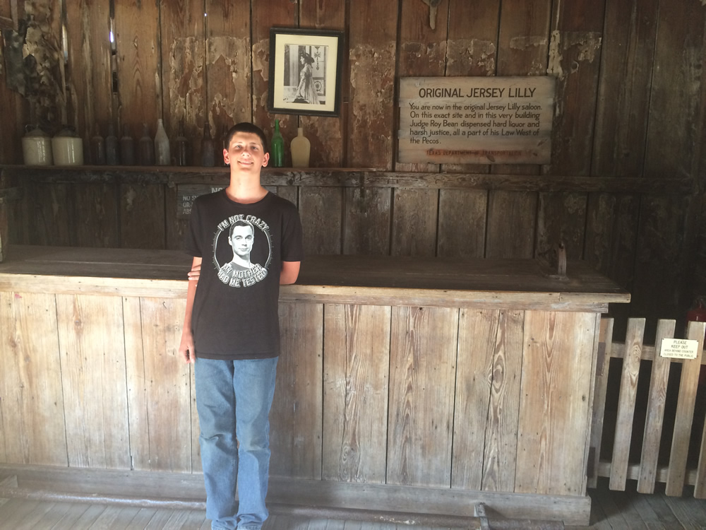
We stopped by Roy Bean's bar on the way back, it was built around the 1900's and it is one of the oldest buildings around these parts!